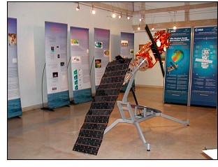
Exhibition dedicated to the Envisat satellite

The Envisat satellite is used to measure the atmosphere, ocean, land, and ice over a five year period. A group of researchers of the IMEDEA at the UIB have participated in the calibration of the satellite on the Balearic Islands.
Free entrance.
Photo © IMEDEA
Datum: 26/11/2002
© 1996-2024 BalearWeb / Mallorca - Werbung - Kontaktieren Sie uns - Zugelassene Informationen - Zugänglichkeit
